Mangroves represent only 3% of the global forest cover, but the current degradation of pantropical mangrove forests is responsible for approximately 10% of the total carbon emissions from deforestation worldwide (Donato et al, 2011). Beyond being one of the most carbon dense ecosystems due to their high carbon sequestration rates (Donato et al, 2011; Pendleton et al, 2012), mangrove forests and other blue carbon wetlands (e.g., coastal sawgrass marsh) are economically and biologically important from local to global scales (Alongi et al, 2002). The large carbon stocks along with the many ecosystem services they provide, and threats from rising seas, saltwater intrusion, degradation and urban expansion, make mangrove environments globally important ecosystems.
Blue carbon ecosystems store and sequester most of their carbon stocks in peat soils (Donato et al, 2011; Stringer et al, 2015) as long as they can maintain a balance between sediment accretion and sea-level rise (McKee, 2011). Sea-level rise and seawater intrusion pose high-risks of change to mangrove forests and coastal marshes, which can result in extraordinary changes to inundation and salinity that impact both above and below ground carbon cycling (Weston et al, 2006; Bouillon et al, 2008). Plant productivity, community structure, soil stability, microbial activity, and root dynamics can all be affected by these environmental changes. As a result, rapid changes in inundation or salinity brought upon by climate change, accelerated sea-level rise, storm surges, or increased water flow through restoration efforts will collectively have an impact on regional and global carbon cycling.
The main goal of this project will consist of developing a new analytical framework from the fusion of multiple readily available ground, airborne, and spaceborne remote sensing datasets to quantify and predict rapid changes or collapse of the blue carbon landscapes. These types of data are now available or planned over the Florida Everglades as part of other NASA and other institutionally funded research. Spectral reflectance and fluorescence measurements can reveal when vegetation is enduring biophysical stress. Multi-scale lidar and radar measurements provide information regarding the horizontal and vertical physical structure. Combining these datasets will enable us to estimate forest and ecosystem changes, identify areas vulnerable to collapse, and model changes to regional carbon and water cycling to inform current restoration and research efforts in the Everglades.
Summary of Activities to Date
G-LiHT Planning and Coordination
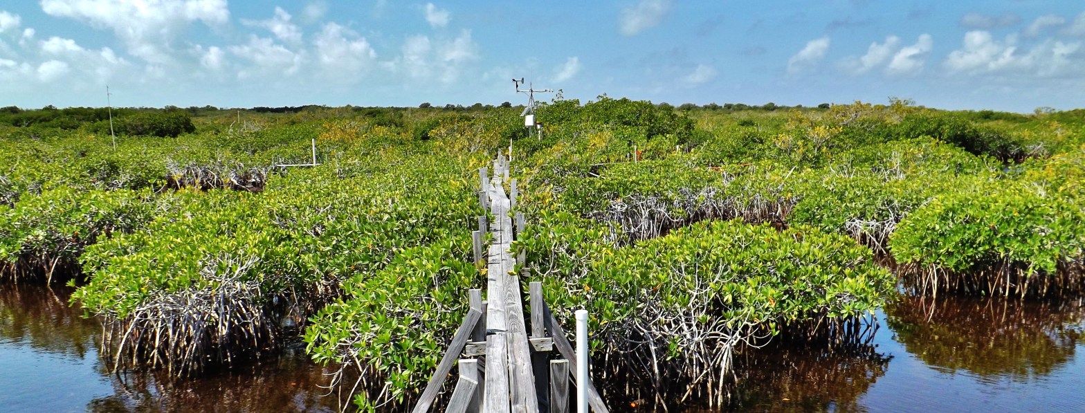
NASA Goddard’s LiDAR, Hyperspectral and Thermal airborne imager (G-LiHT) collected data over Everglades National Park in May 2015. These acquisitions targeted critical vegetation, hydrologic, and salinity gradients that were also areas with existing ground plots in the marsh and mangrove forests. Repeat flights were also conducted in March of 2017 and after Hurricane Irma in December of 2017. G-LiHT data from the study domain will provide a link for upscaling ground data to long-term satellite observations in order to measure temporal landscape dynamics. Combining measurements of vegetation structure, foliar spectra, and surface temperatures using the G-LiHT imager has delivered well-calibrated results and has proven successful in determining forest inventories and individual tree structures. This data is important to examine the differential impacts to the vertical and spatial structure of coastal ecosystems across all of South Florida
Initial Land Cover Maps
Combining 3D mapping methodologies with biophysical spectral responses we can quantitatively access forest and vegetation structure and health. Using both the structure and function of the environment we can identify areas of ecosystem change and whether that change could lead to ecosystem degradation or regrowth. The main goal of this research is to develop a new monitoring framework from the fusion of readily-available ground, airborne, and spaceborne remote sensing datasets to quantify and predict rapid changes or collapse of the blue carbon landscapes. Because of the extensive Landsat archive and recent canopy height models we can assess changes to mangrove ecosystems across the globe, with the ability to compare processes between geomorphological settings.
Preliminary land cover change maps have been generated for the study region, Everglades National Park, for the period of 1993 through 2014. Initial results show mangrove forest lost along the southwestern tip of Florida, suggestive of typical landward erosion. In addition, there also appears to be substantial degradation within interior mangrove areas located in the western and southern portions of the Park . There has been relatively minimal gain in mangrove cover, except for a few areas around the islands of Florida Bay, and near 10,000 Islands.
