Our lab has created a number of interactive apps to help users and collaborators explore how spatial data can be used to address conservation concerns. Some of our apps are also available in other languages (French, Portuguese, and Spanish). Please explore the apps below!
Ghana Gold Mining Explorer
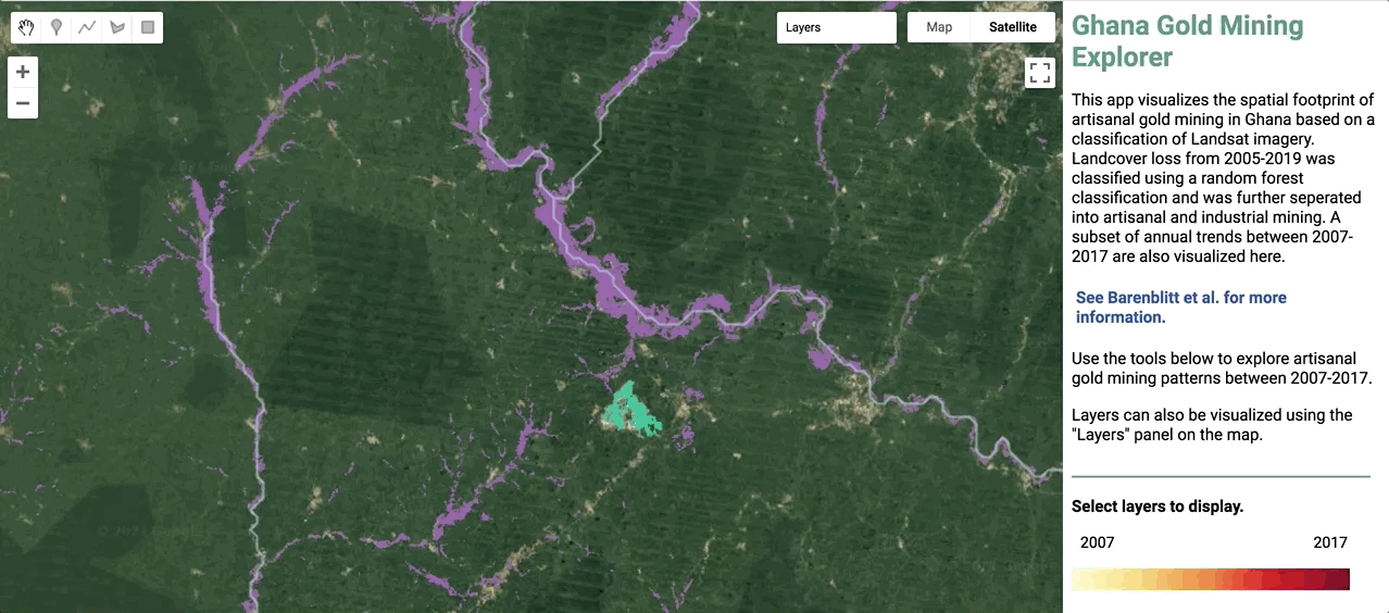
Use this app to explore the total and annual vegetation loss due to artisanal gold mining in Ghana.
Global Mangrove Loss Drivers
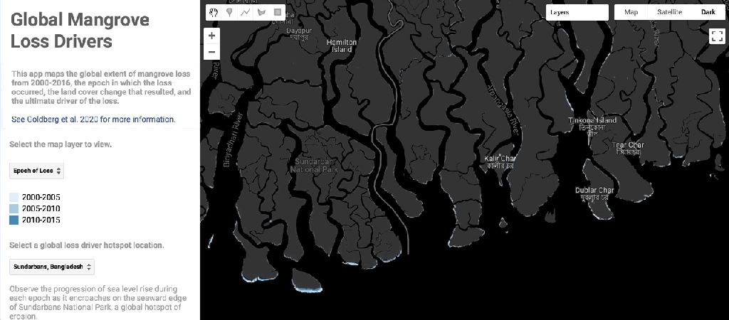
Use this app to explore drivers of mangrove loss globally.
Mangrove Dataset Workflow
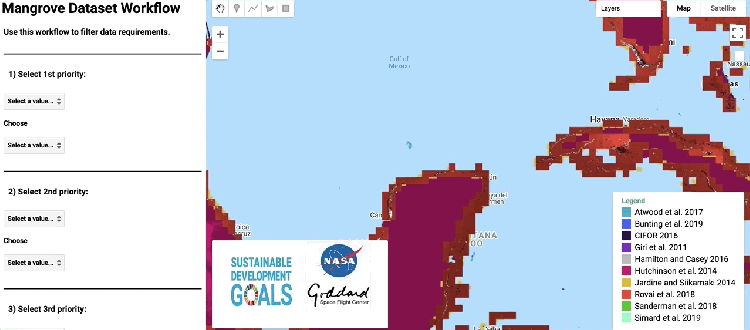
Use this app to explore available mangrove datasets and their functionality.
Global Mangrove Height & Biomass Explorer
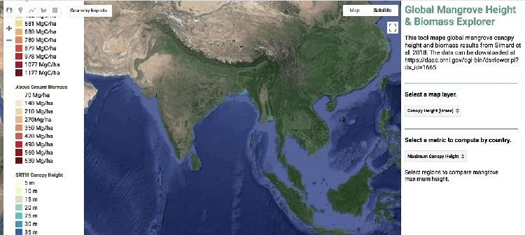
Use this app to explore mangrove canopy height and biomass around the world.
Delta Mangrove Explorer
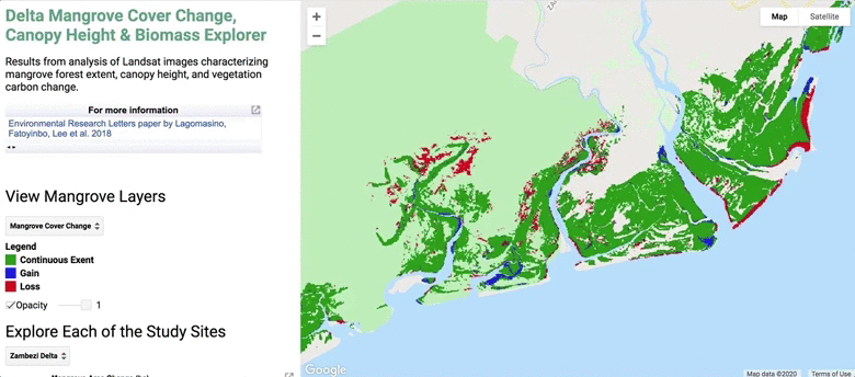
Natural processed within deltas can drastically change mangrove spread. This app demonstrates results from our study of carbon loss and sequestration potential for mangroves in major deltas.
MV Wakashio Oil Spill 2020
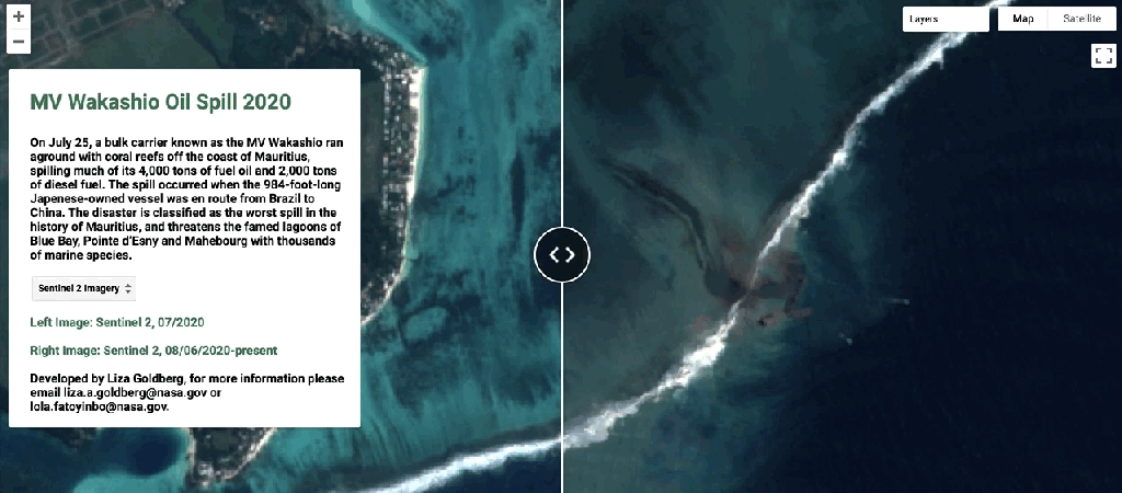
In July 2020, the MV Wakashio bulk carrier ran aground off the coast of Mauritius, spilling oil and diesel fuel. Use this app to view the region before and after the spill.
2020 Brazil Floods and Mudslides
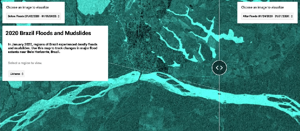
Use this app to explore changes in flood inundation in Brazil during the 2020 floods and mudslides.
Australian Fires
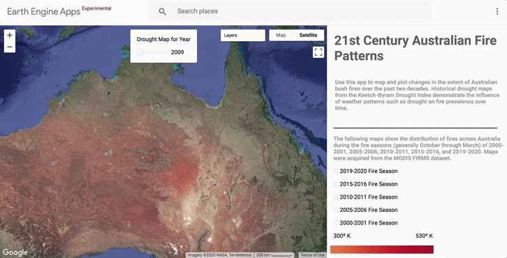
The recent Australian bush fires have had a devastating impact on wildlife and protected regions. Use this app to explore the changes in bush fire extent over the past two decades.
Amazon Deforestation & Biomass Mapping
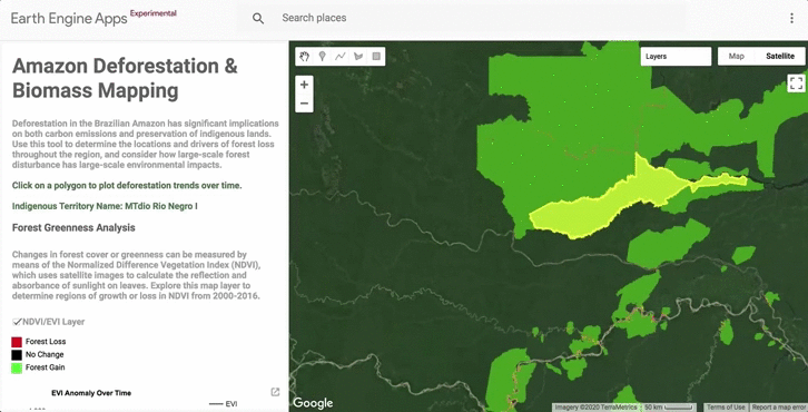
Deforestation in the Amazon can be detected with instruments like MODIS. This app demonstrates the extent and drivers of forest loss throughout the Amazon region.
Amazon Forest Fires
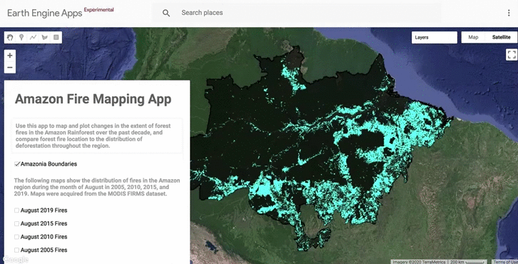
This app uses MODIS FIRMS data to demonstrate the distribution of fires in the Amazon. Use this tool to explore the extent of fires in 2005, 2010, 2015, and 2019.
Global Water Change
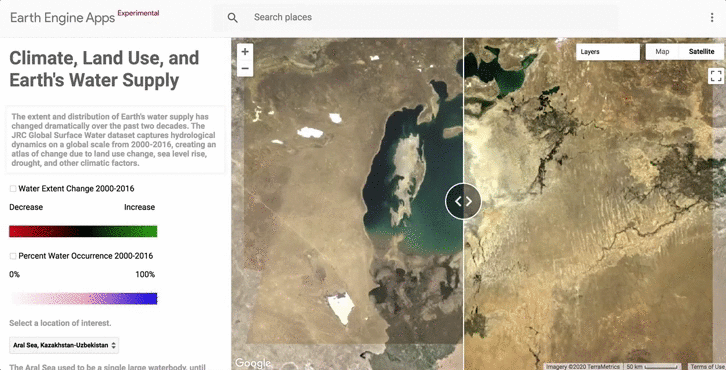
Over the past two decades, the Earth’s water supply has experienced dramatic changes. This app uses data from the JRC Global Surface Water dataset to demonstrate changes due to land use, sea level rise, drought, and other factors.
Human Impact Explorer
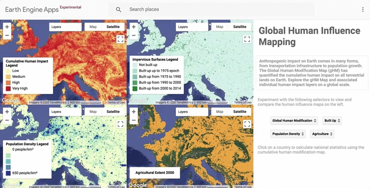
The impact humans have on the world around them comes in many forms, including building infrastructure, agricultural development, and population growth. This app uses the global Human Modification dataset from Conservation Science Partners to demonstrate the impact of anthropogenic changes on the Earth.
Urbanization Explorer
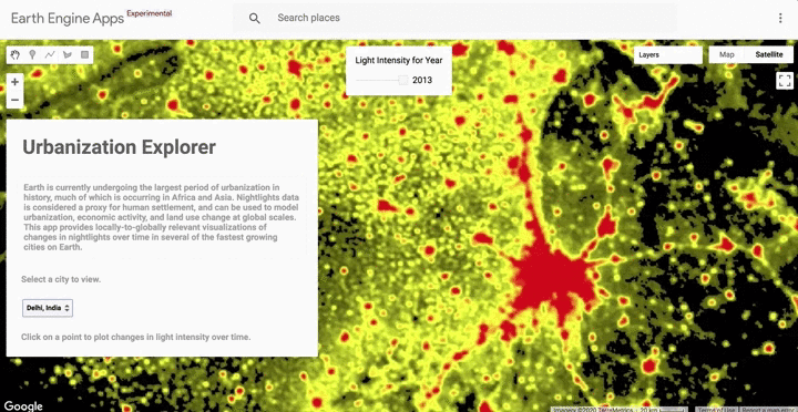
As our population grows, the Earth has undergone large periods of urbanization. This app uses nightlights data as a proxy for human settlement to demonstrate changes in urbanization over time.
