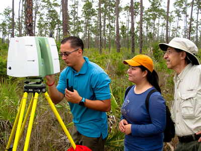
The main advantage of a Terrestrial Laser Scanner (TLS) survey is its ability to capture a 3-D image of the forest structure. Several studies have shown that TLS can measure vegetation parameters such as Diameter-at-Brest-Height (DBH), tree height, leaf area index (LAI), and non-explicit parameters such as wood-to-total-tree area, leaf-to-total-tree area, basal area, stem density, and Aboveground Biomass (ABG) in juvenile trees. Some of the first TLS measurements in mangroves forests were collected in the Everglades (Figure below).
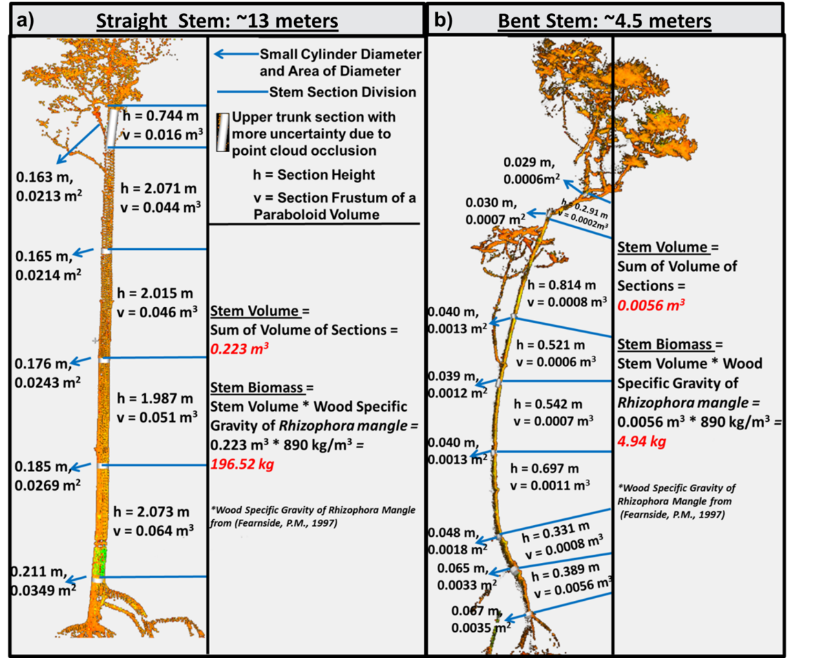
The total volume of the tree is tallied using various sized cylinder models. Depending on the angle of certain arches, more cylinders models may be needed to get and accurate volume.
Recently, a TLS survey was conducted in the mangrove of the Pongara National Park in Gabon (Africa). This survey documented some of the taller mangrove forests in the park, reaching nearly 50 meters (~164 ft). The resulting point cloud datasets contain the 3D information from billions of laser shots with the TLS is still be analyzed, however data products will be coming out soon.
