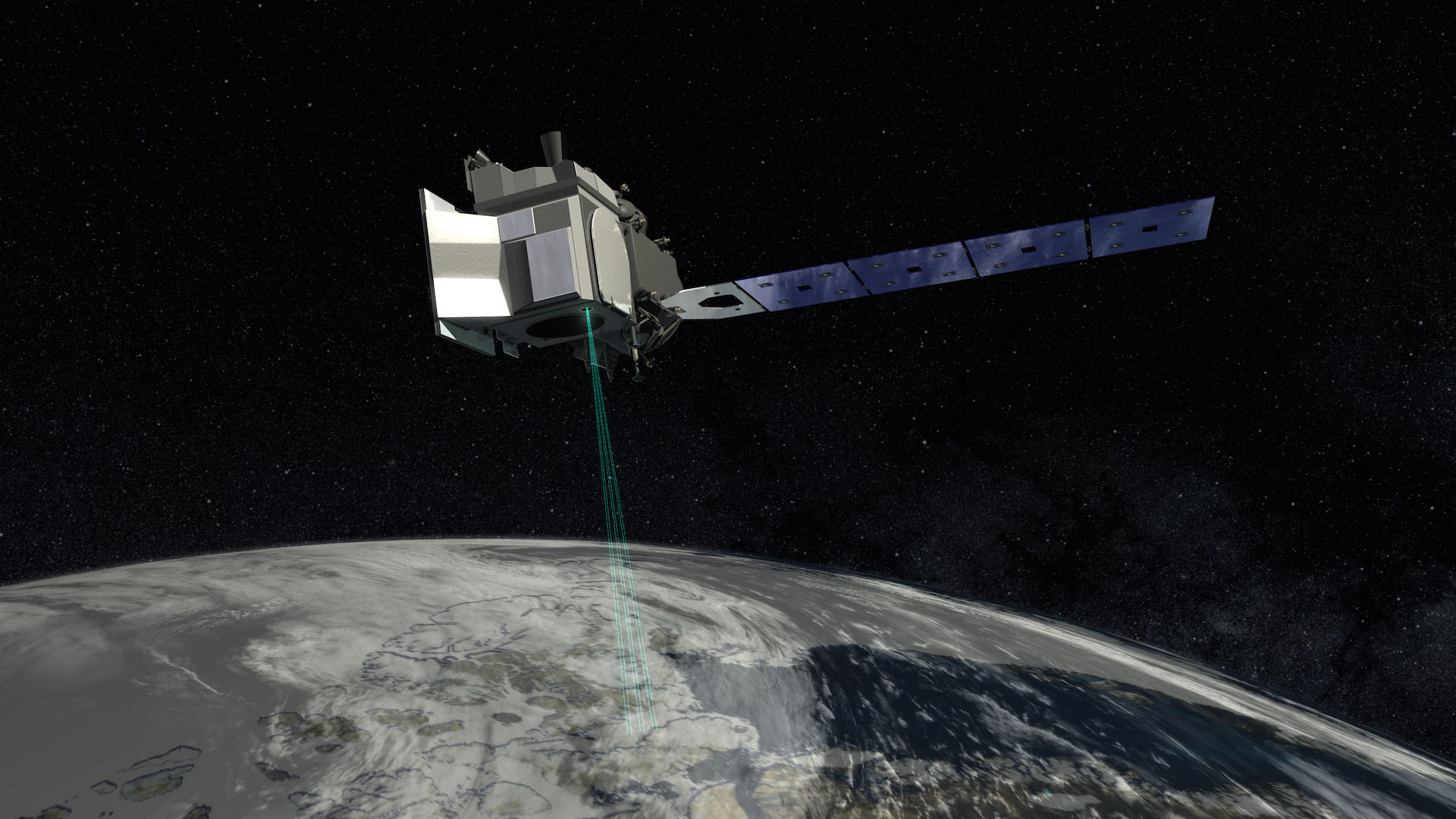
Ice, Cloud,and land Elevation Satellite
A benchmark Earth Observing System mission for measuring ice sheet mass balance, cloud and aerosol heights, as well as land topography and vegetation characteristics. Operating for seven years in a near-circular, near-polar orbit, it gave us the means to measure ice sheet mass balances & cloud and aerosol heights. But that wasn’t the end of its satellite story…it also gave us land topography and vegetation characteristics. This is why we are using ICESat-2 along with Sentinel-2 optical imagery.
Why is this important? Earth Scientists are concerned about the Earth’s drastic changes in temperatures. Temperatures that can have a devastating effect on the world’s quickly unstable ice mass and climate. This is a crucial mission. At the same time, our team is using ICESat sensors in a way that was never intended, exceeding its scientific requirements.
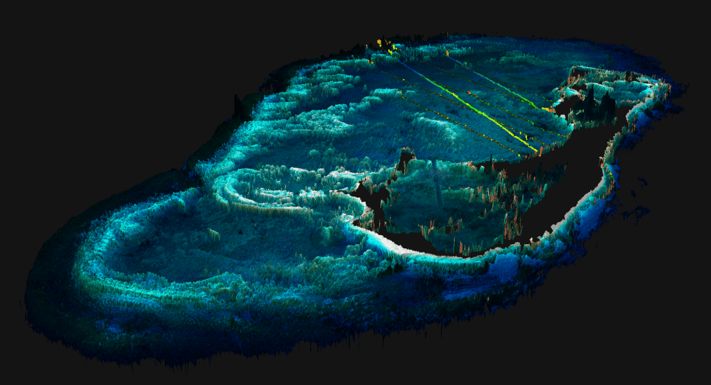
Our team member Dr. Thomas and others is utilizing space-borne bathymetric mapping to help rise to the challenge of mapping shallow nearshore coastal waters, a slue of ecosystem services and socio-economic benefits. In the field of remote sensing it is supremely difficult to execute efficient mapping due to the poor topographic structure of coastal shores and the lack of available in situ measurements. Luckily, due to our teams tenacity and ingenuity, we have been able to fuse ICESat-2 lidar data with sentinel-2 optical imagery producing the an openly available spatially continuous high-resolution bathymetric maps at multi-regional scales in Florida, Crete, and Bermuda.
“Knowledge of the depth of the shallow seafloor in coastal waters is needed for a wide range of applications, including navigation and habitat monitoring. Mapping water depth in these locations is expensive, arduous and sometime dangerous. To overcome some of these challenges, we used multiple satellite data sets to map water depth in several unique coastal environments. “
With the hard work of our team here at Mangrove Science, we were abel to demonstrate a means of using ICESAT-2 for the critical calibration and validation activities that brought us new data products that enable coastal conservation. Knowledge of the depth of the shallow seafloor in coastal waters is needed for a wide range of applications, including navigation and habitat monitoring. Mapping water depth in these locations is expensive, arduous and sometime dangerous. To overcome some of these challenges, we used multiple satellite data sets to map water depth in several unique coastal environments. This is what motivates our team to bring ICESat-2 to new levels. This is Mangrove Science.
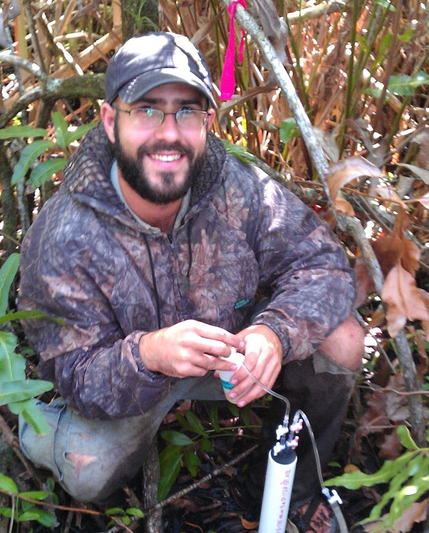
Team Mates Working with ICESat-2

Nathan Thomas, Ph.D.
Lola Fatoyinbo, Ph.D.
David Lagomasino, Ph.D.
