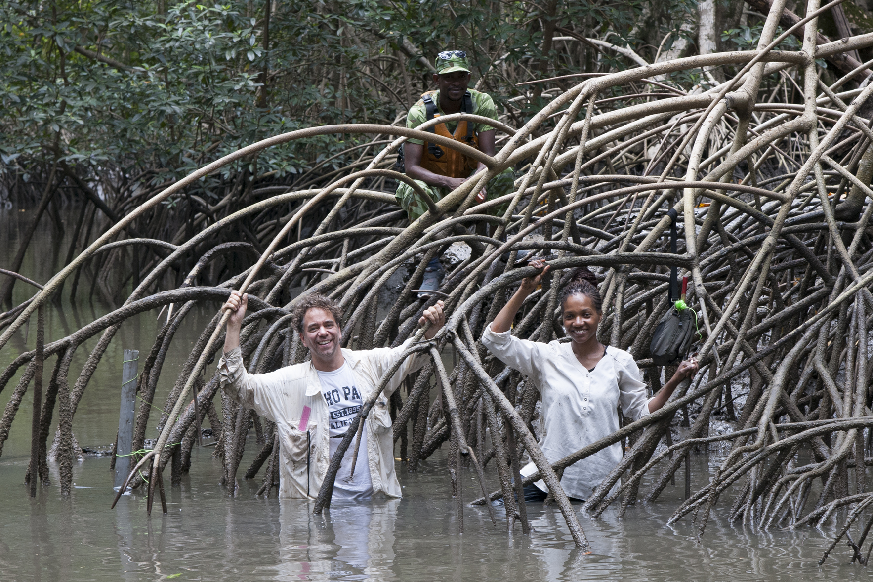
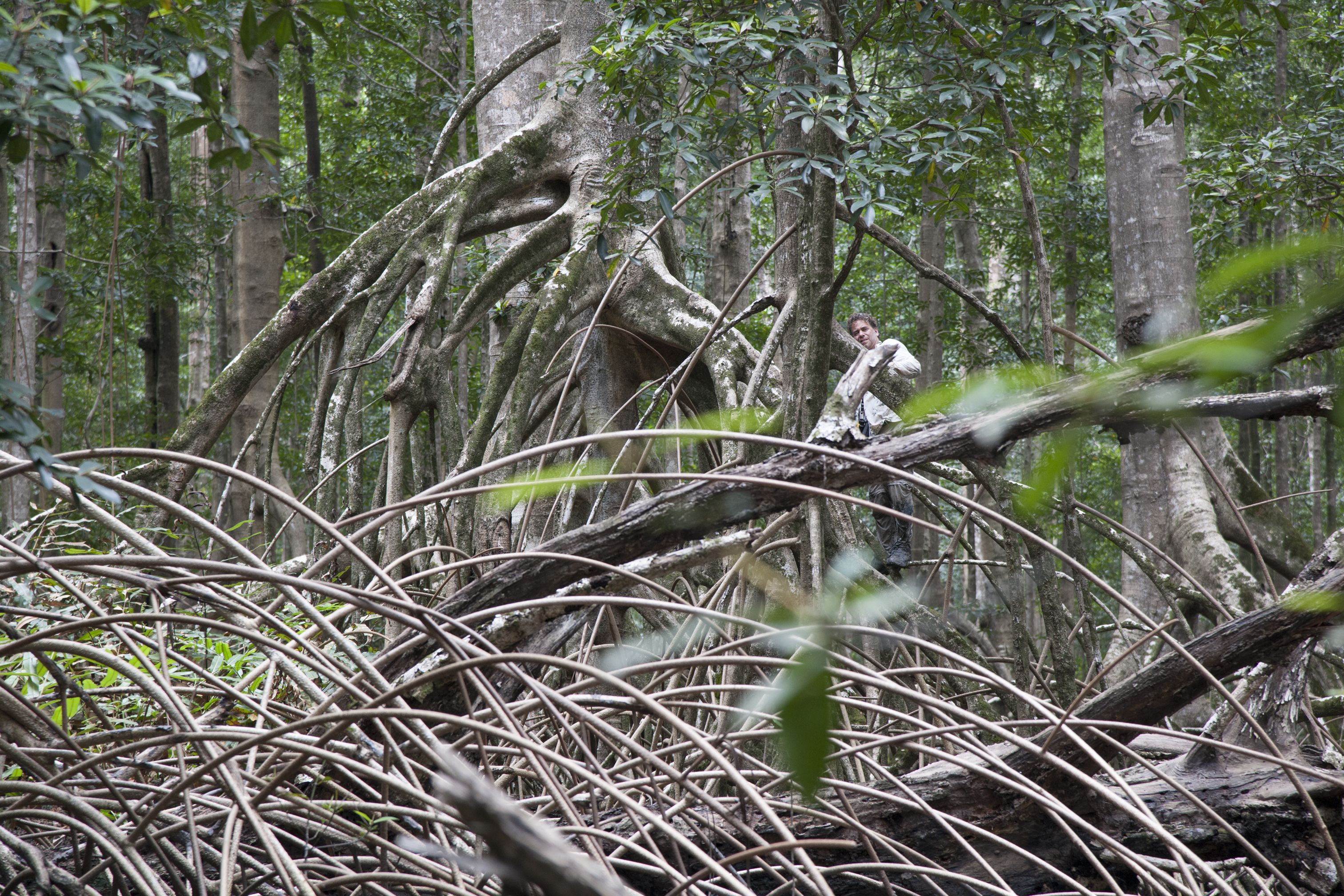
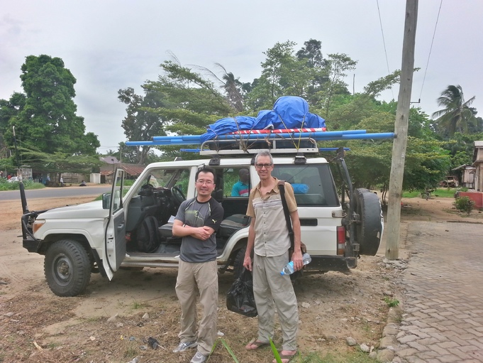
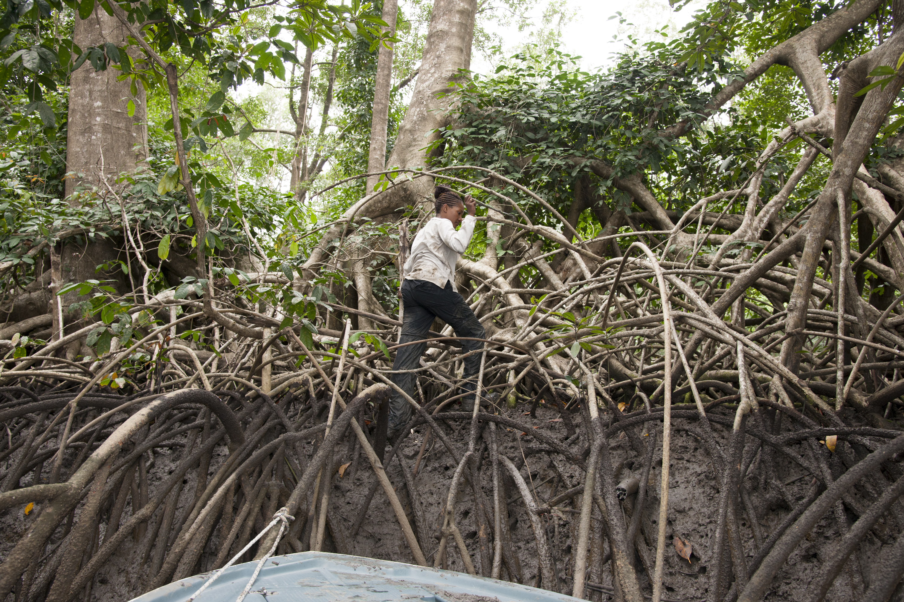
Why We Go Into the Field
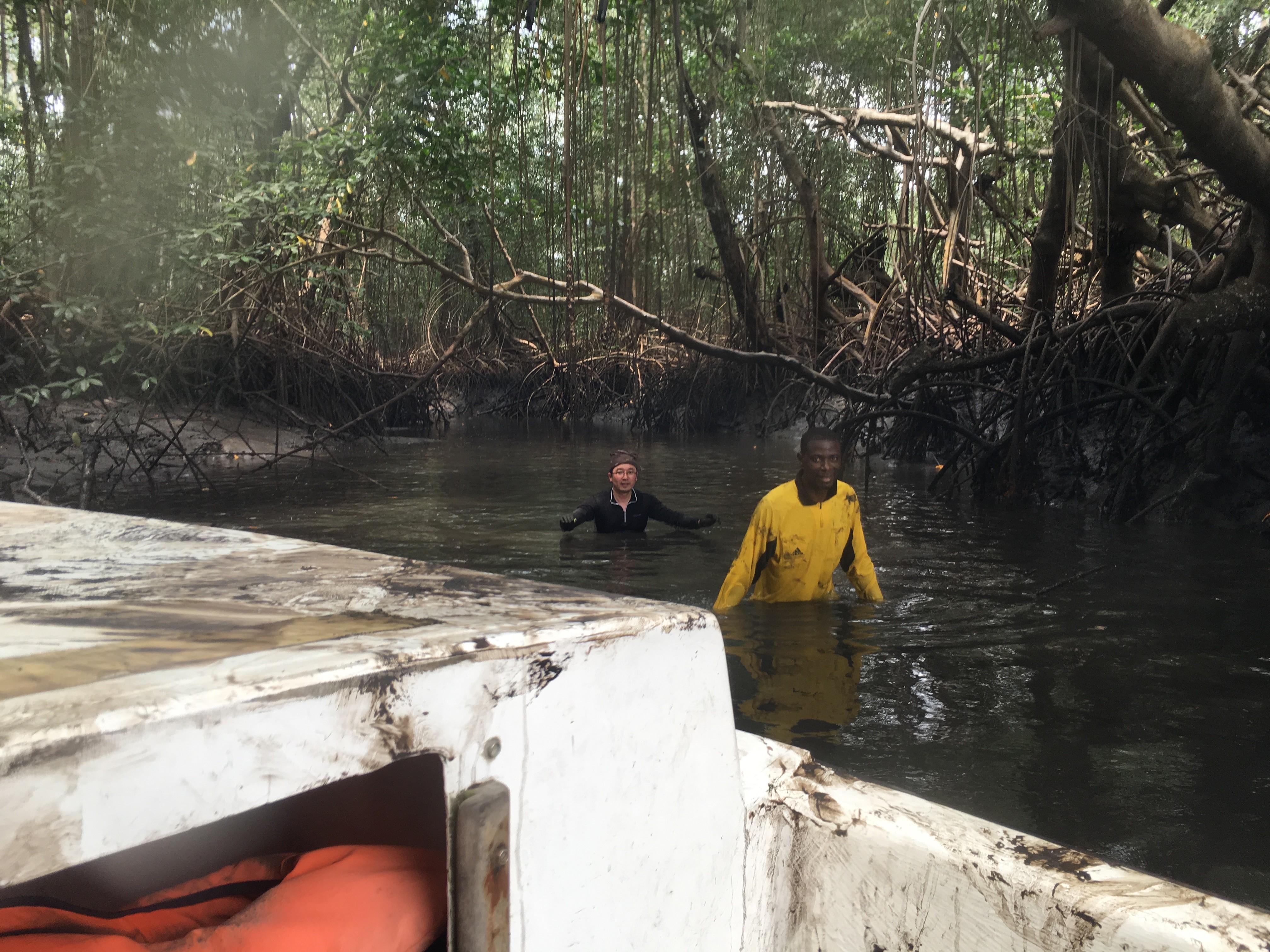
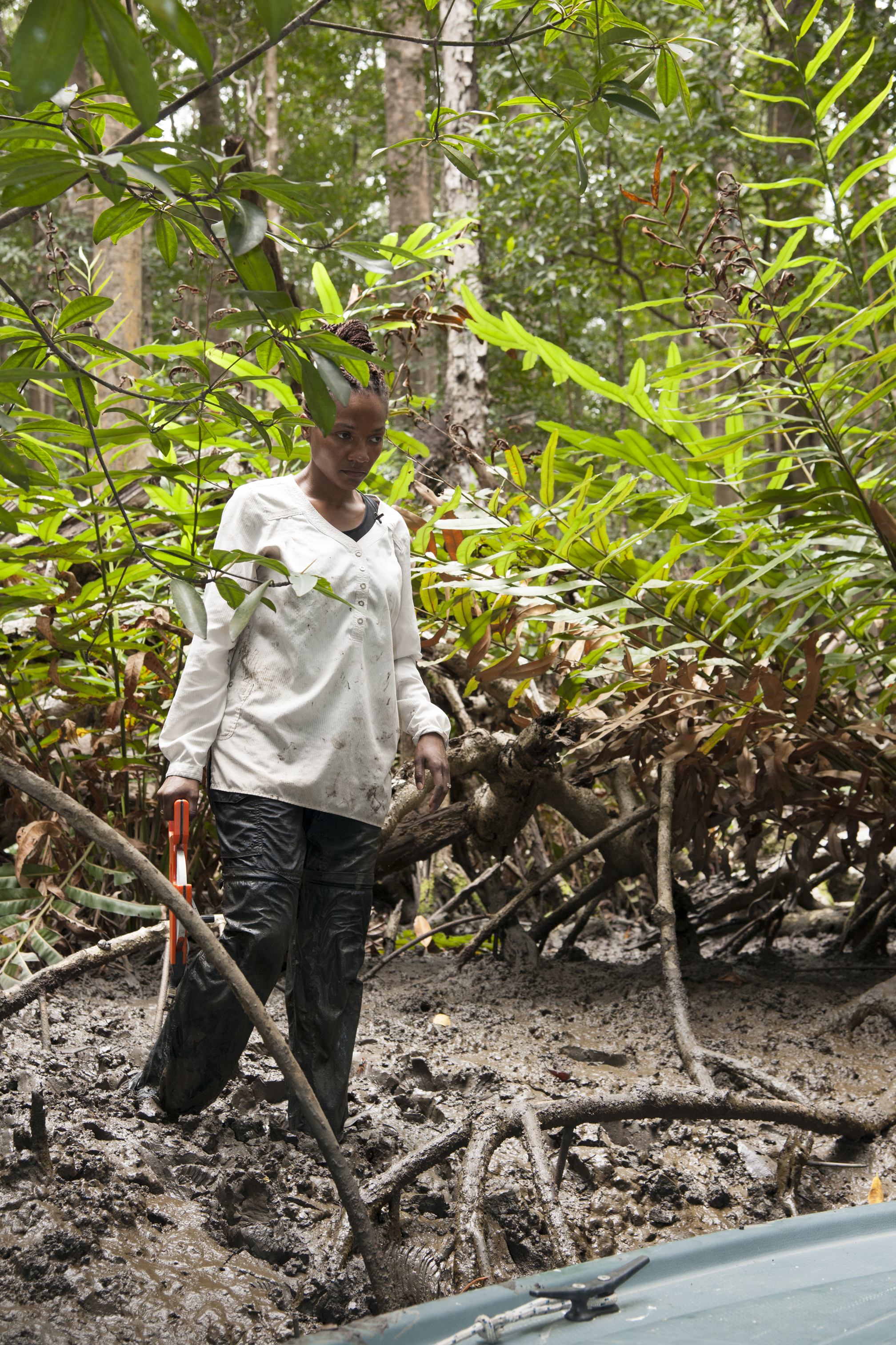
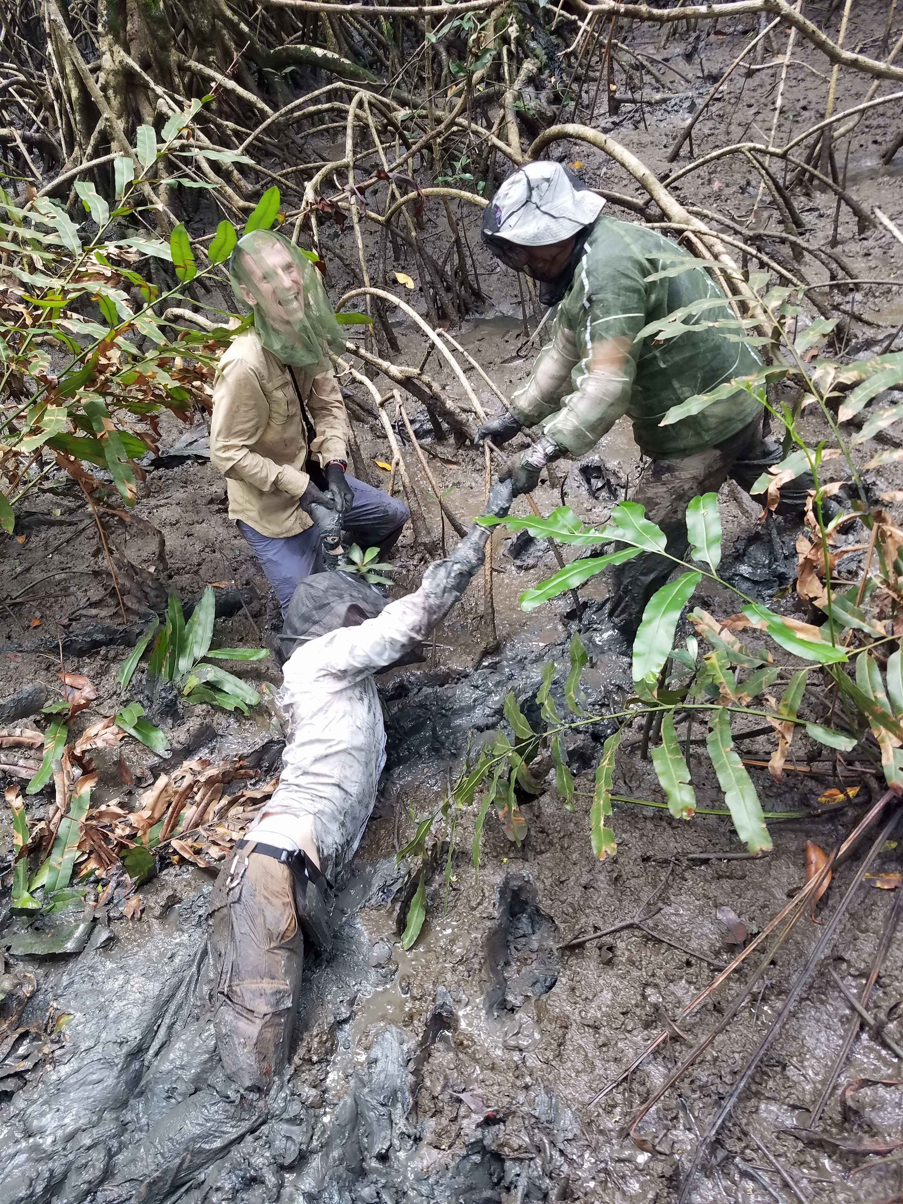
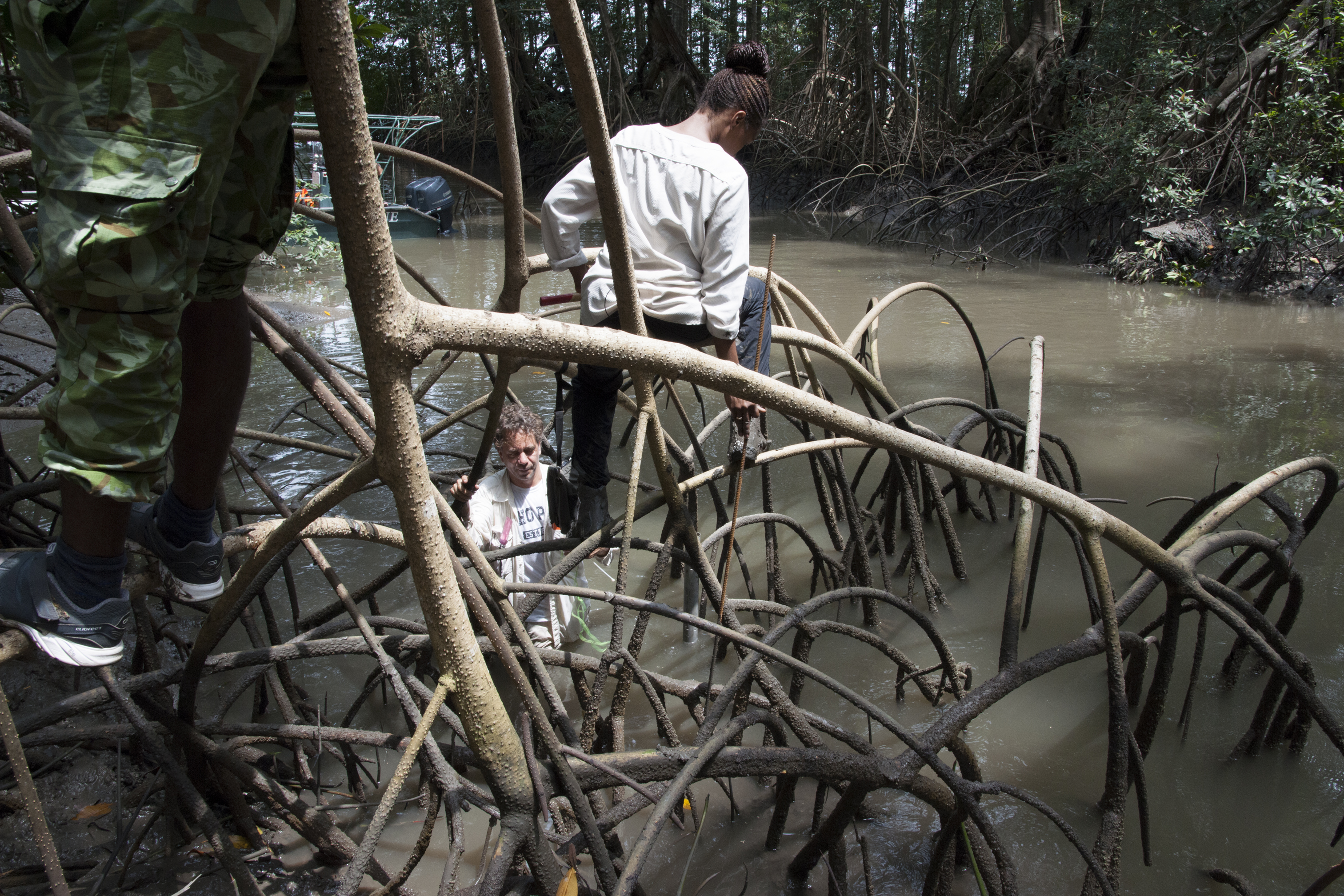
In order to validate the results of our models, our lab periodically joins our in-country partners to take measurements in mangroves and forests. Collecting on-the-ground data allows us to assess the accuracy of our models and compare field data to remotely-sensed data.

What We Measure

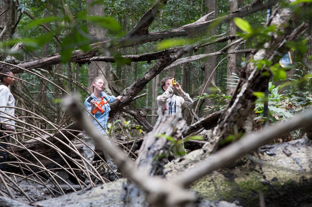
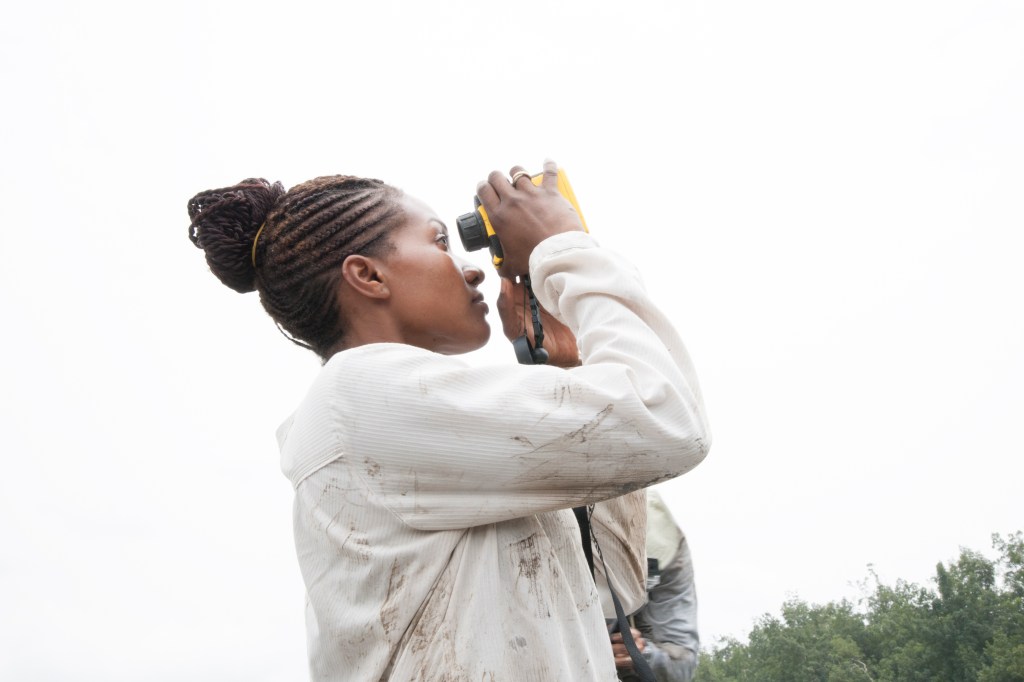
We measure a few basic properties of trees including the Diameter at Breast Height (DBH) and height. This requires different instruments depending on the precision needed and type of data needed. To measure diameter, we use a DBH tape, a common tool for on-the-ground forest measurements. To measure height, we use a clinometer and a range finder. Both of these instruments uses trigonometry to calculate tree height. The clinometer measures the angle at the top and bottom of a tree at a certain distance to give an estimate of height. The range finder measures these angles and provides a more accurate measure of distance. DBH and tree height can then be used to calculate other variables, such as basal area, or total area of wood, wood volume, biomass, and carbon.

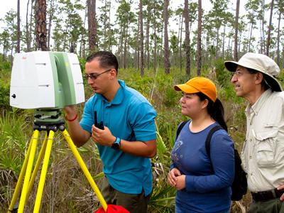
Another tool we use is Terrestrial Laser Scanning (TLS). TLS is also referred to as terrestrial LiDAR as it uses laser pulses to measure 3D structure. This tool can be used to create photorealistic 3D landscape models and allows us to measure volume and biomass.

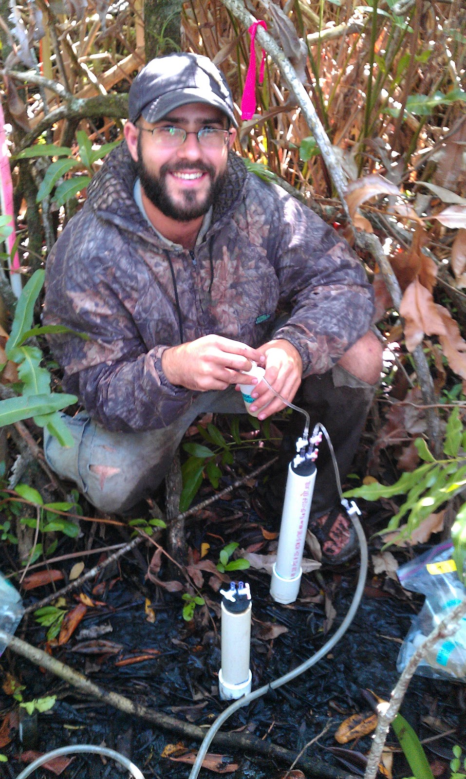
We are also interested in measuring carbon stocks in mangroves and forested ecosystems. This requires collecting cores of soil using a borer, which drills into the soil at a specific depth. We take these soil cores back to the lab to determine the total carbon in the soil.
To see more photos from our time in the field, please explore the gallery below!