
Mangroves play a critical role in our social, economic, and ecological resources, but there are gaps in our understanding of carbon accounting and management. This is why we use field and aerial observations to study mangroves.
What are mangroves?
Mangroves are important ecosystems for wildlife & human livelihoods, provide coastal protection from strong storms, and bury large amounts of carbon which is helpful to reverse the increases in greenhouse gases. They are woody plants that grow where sea meets the land in areas close to our equator. They have adapted to the harsh environment of salinity, inundation, tropical coastal weather patterns, and hydric soils or soils lacking free oxygen (Kathiresan et al., 2001).
The bigger picture: Blue Carbon
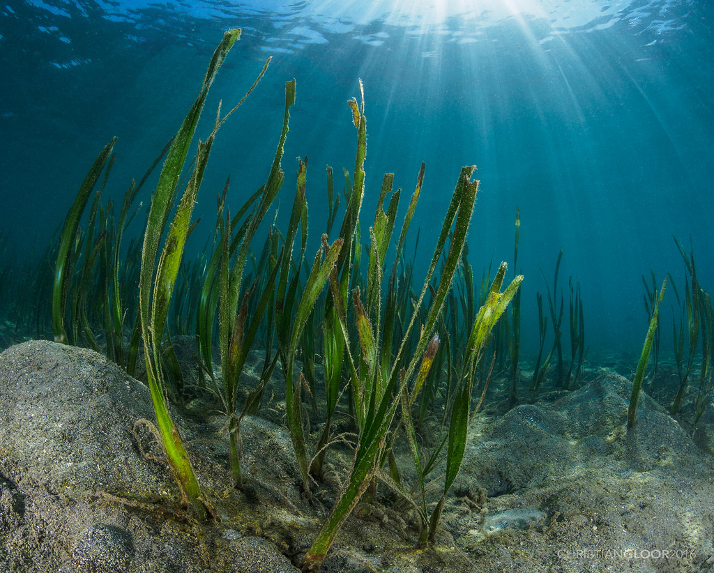
The term blue carbon was coined during the discussions by the REDD programme to apply protection measure to marine carbon ecosystems(Grimsditch, 2013). Blue carbon can be defined as the carbon mass that is stored, sequestered, or released from coastal vegetation ecosystems mainly being tidal salt marshes, mangroves, and seagrass meadows (Herr et al., 2012) .
Why are they important?
Mangroves and other blue carbon ecosystems provide many services that people benefit from . Major processes that they support include nutrient cycling, soil formation, and primary production. These major processes in turn support healthy fisheries, medicines, fibers, wood, and fuels. They also help maintain our climate, flood control, stable coastlines, water quality, and many more services. Furthermore, there is a cultural , recreational, and educational component to them making them vital on so many levels (Millennium Ecosystem Assessment, 2001).
Mangroves are an integral part of the blue carbon family, an environmental resource in dire need of global conservation efforts. Although there has been ample establishment of monitoring, reporting, and verification of carbon for mangrove afforestation and reforestation efforts outlined in the Clean Development Mechanisms of the Kyoto Protocol Methodologies there are many gaps in our understandings of blue carbon storage and sequestration abilities (Grimsditch, 2013).
“Mangroves, tidal marshes and sea grasses are important to our coasts and ourselves. They are critical to coastal water quality, healthy fisheries, and protection against floods and storms. Mangroves have a predicted value US$1.6 billion each year in ecosystem services supporting our livlihoods (thebluecarboninitiative.org).”
Why are they at risk?

Globally, mangroves are facing a rapid decline because of land-use change accelerated by development pressures, along with climate change and sea level rise, resulting in a disproportionate loss of mangrove ecosystems through degradation and conversion. The reality is that in an increasingly resource-constrained world, increases in one ecosystem service or human activity typically result in the reduction in other services or activities. The continued undervaluation of ecosystem benefits perpetuates the free riding of these public goods, exacerbating the worldwide over-exploitation and degradation of ecosystems.
Collaboration is key
Scientists are studying the ecology and benefits of mangrove forests, but a lot of that work is buried in complicated jargon and difficult-to-read graphs. Mangrove science wants to include local communities, stakeholders, and governments in the US and across the globe to understand the importance of not only our research, but the benefits of these crucial coastal ecosystems.
Our work has taken us to remote locations across the world but one trip in particular was poetically summarized by a song written (and sung) by the community leader of a region in Choco, Colombia. He tells the story about how his community is supported by the mangrove forests; supplying the wood they need to build homes and supporting the fish and shrimp they need to eat.
Our research is developing improved interdisciplinary approaches that combine aspects of physical, social, and economic sciences, with a high level of societal relevance, using novel remote sensing tools, methods, and data. This information will provide crucial support to assess the vulnerability, impacts, and adaptations for socioeconomic aspects of land-use systems that need to adapt to climate change and sea level rise.
