Mangrove Science
Monitoring & Modeling with Remote Sensing
This is Mangrove Science
Mangrove Science pulls together research from a network of forest ecologists, remote sensing scientists, hydrologists, local officials, and members of the community to understand how the landscape of mangrove forests change over time.
We have partnerships with organizations and institutions all over the world. The research highlighted on Mangrove Science represents a collection of field-campaigns, stakeholder engagements, and remote sensing data products that collectively will help build our understanding of the coastal dynamics between human development, sea-level rise, and carbon-dense ecosystems like mangroves.

Learn About Our Team
The goal of our research and this website is to address major objectives from our research organizations and collaborators to develop a carbon Monitoring, Reporting and Verification (MRV) systems useful to carbon trading protocols. Our team is a diverse set of scientists who primarily work with NASA centers like the Goddard Space Flight Center Biospheric Sciences Laboratory .
We study coastal wetland ecosystems because of their socio-economic and ecological importance. They are experiencing ever increasing pressures such as changes in weather patterns, population growth, and sea level rise to name a few. However, these biophysical variables can be monitored through the lens of remotely sensed observations (i.e. satellite & airborne imagery), field observations, and analytical modeling. Read up on some of the tools and methods we use to do this.
Synthetic Aperture Radar (SAR)
- UAVSAR – Airborne radar used to study vegetation, glaciers, and soil moisture
- Sentinel-1 – SAR imaging from dual, polar-orbiting satellites
- TanDEM-X – Global DEM from dual formation radar satellites using Interferometric Synthetic Aperture Radar (InSAR)
Visible and Infrared Spectroscopy
- Very-High Resolution Optical Imagery– Fine-scale spatial details from space
Light Detection and Ranging (LiDAR)
- Airborne Lidar– The “gold standard” for forest canopy height
- Terrestrial Laser Scanning– 3D structure below the forest canopy
- GEDI – 3D structure of forested ecosystems
Our Projects
Global Mangrove Loss Drivers
We have developed an interactive, user-friendly portal that can be used by stakeholders and coastal communities to map the world’s most vulnerable regions of mangroves, identify the proximity and urgency of various loss drivers, and provide real-time alerts about local mangrove health.
African Blue Carbon – Carbon Monitoring Systems
We are working to improve mangrove forest inventories by integrating remote sensing and intensive field surveys. Through this project we have mapped the extent and change in mangrove forests, as well as their canopy height and biomass concentration for all of Gabon, Mozambique, and Tanzania.
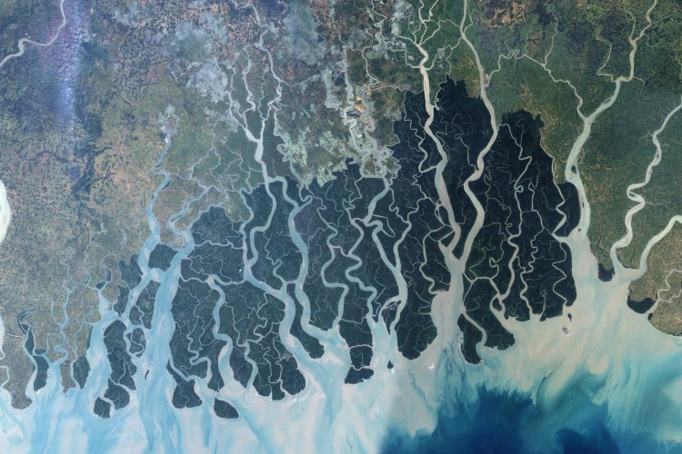
Bangladesh – SilvaCarbon
We are working with the Bangladesh Forest Department and local institutions to improve the capabilities to monitor forest change using Earth Observations. Through this project we are developing species, canopy, and biomass maps through the engagement of Bangladeshi Research Fellows
Mangroves in the Americas
Through several different projects we are improving ways to monitor and measure wetland health for South Florida and Everglades National Park. In particular, we are examining the long-term vegetation trends, the impacts of catastrophic storms, like Hurricane Irma, and how the ecosystem recovers over time using multiple datasets, including Goddard’s Lidar, Hyperspectral, and Thermal airborne imager.

Explore our work
Explore this site to learn more about the work our lab conducts around the globe!
Upcoming Events
March 2020: G-Light Campaign in Florida
March 2020: In-country meeting with Ghanaian partners
