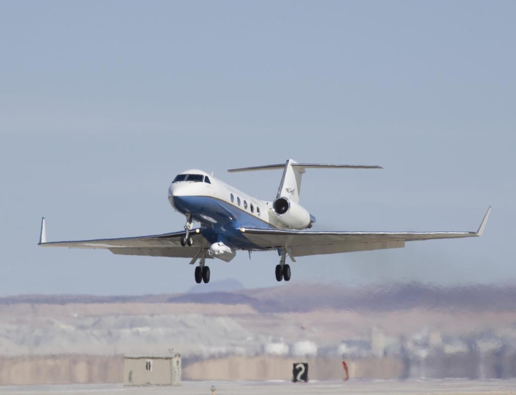
Uninhabited Aerial Vehicle Synthetic Aperture Radar (UAVSAR) is an airborne L-band radar sensor aboard the Gulfstream-III. UAVSAR is flown over the same area multiple times in order to detect changes. These repeat flights are highly precise, flying within 10 m of the desired flight path. The radar is able to partially penetrate snow and is used for measuring vegetation, glaciers, lava features, volcanoes, and other land features. It can be used to study climate change and examine deformations resulting from earthquakes and volcanoes. Since it began operating, the system has been updated to include a P-band to observe sub-canopy and subsurface root zone soil moisture and a Ka-band to provide high resolution digital surface models for ice surface topography mapping.