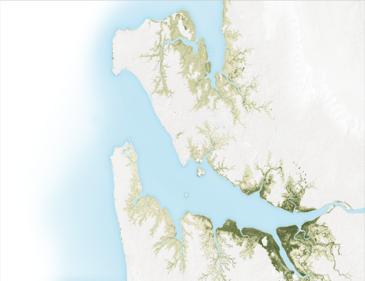
This map is a combination of efforts to use satellite radar data to model the height of mangrove canopies in Africa.
Monitoring & Modeling with Remote Sensing
This map is a combination of efforts to use satellite radar data to model the height of mangrove canopies in Africa.
