Skip to content
Mangrove Science
Monitoring & Modeling with Remote Sensing
Menu
+
×
expanded
collapsed
Home
Who We Are
Why Mangroves?
Our Work
Mangrove Resilience & Vulnerability
United Nations Sustainable Development Goals
African Blue Carbon
South Florida Coastal Ecosystem Vulnerability
SilvaCarbon – Bangladesh
Remote Sensing
TanDEM-X
Very High Resolution
Airborne Lidar
G-LiHT Imager (Goddard’s LiDAR, Hyperspectral, & Thermal Imager)
Terrestrial Laser Scanning
GEDI (Global Ecosystem Dynamics Investigation)
ICESat-2
Field Work
Data Portal
Resources
Publications
Apps
In the Media
Become a Subscriber
Data User Survey
Previous Image
Next Image
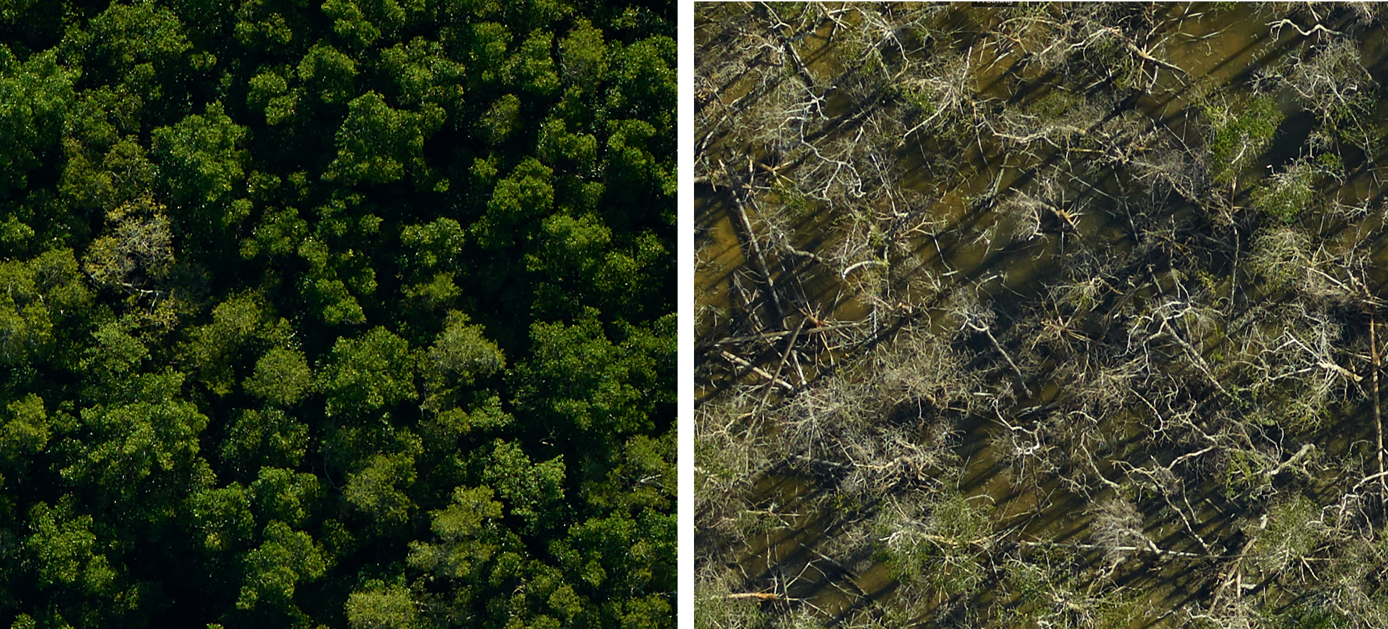
GLiHT_fineRes
Post navigation
Published in
Resilience & Vulnerability to Disturbances
Privacy & Cookies: This site uses cookies. By continuing to use this website, you agree to their use.
To find out more, including how to control cookies, see here:
Cookie Policy
Subscribe
Subscribed
Mangrove Science
Join 128 other subscribers
Sign me up
Already have a WordPress.com account?
Log in now.
Mangrove Science
Subscribe
Subscribed
Sign up
Log in
Copy shortlink
Report this content
View post in Reader
Manage subscriptions
Collapse this bar